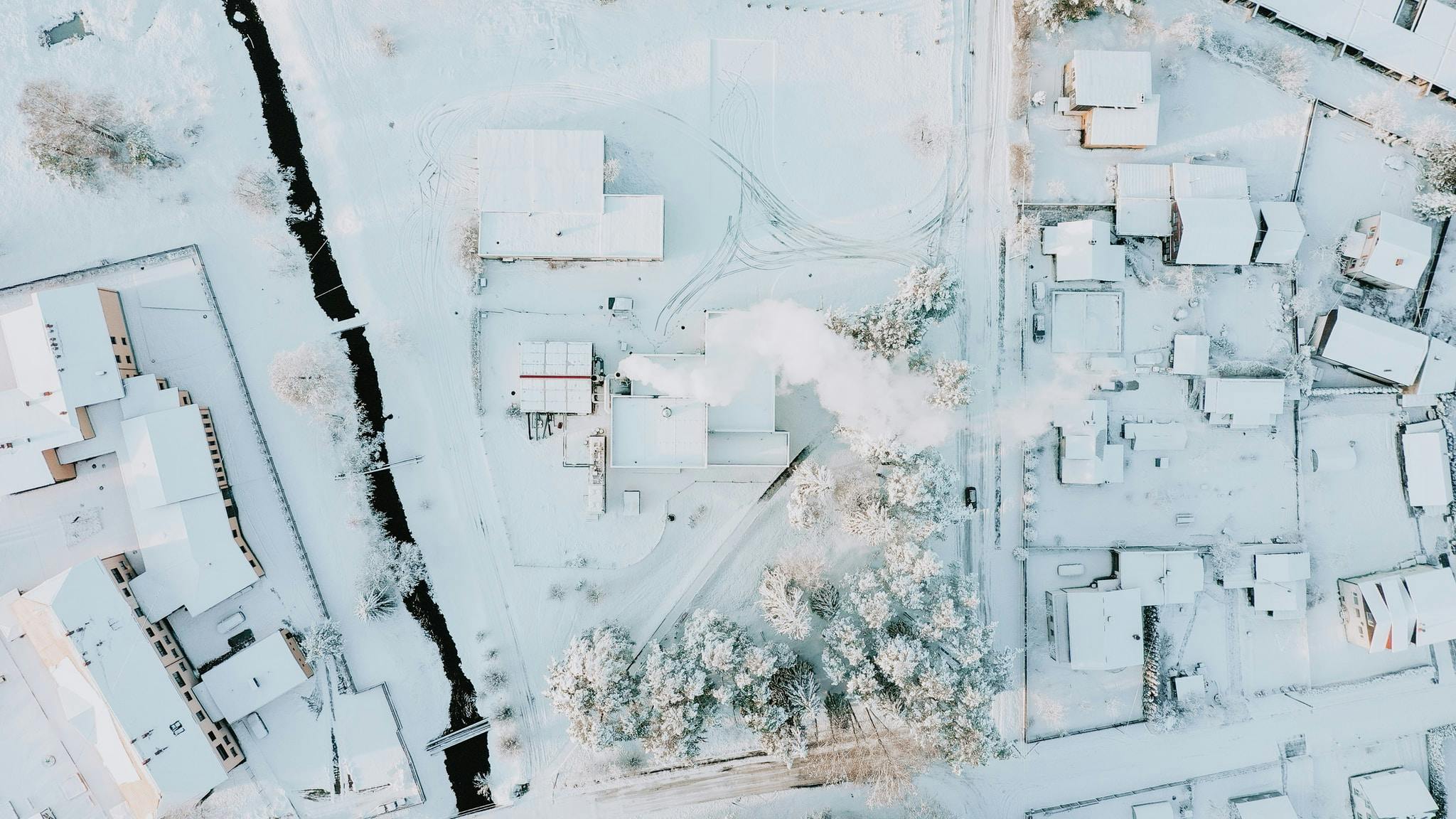
Latvia (Latvija) is a state in the Baltic States (Eastern Europe). It borders Estonia to the north, Russia and Belarus to the east and Lithuania to the south.
Latvia is located in the centre of the Baltic States. The classification of the entire region is controversial and is influenced not only by geographical factors but also by historical, cultural and political aspects. Thus, the Baltic States are assigned to Northern Europe, Central Europe, Eastern Europe and North-Eastern Europe.
Latvia essentially consists of the four historical regions of Kurland (Latvian: Kurzeme) in the west, Livonia (Vidzeme) in the northeast, Semgale (Zemgale) as a narrow strip between Düna (Daugava) and the Lithuanian border, and Latgale (Latgale) in the southeast. It is for the most part a wooded moraine hill country with numerous lakes and a long, indented coastal plain. The longest rivers in Latvia are the Düna and the Gauja (Livonian Aa). The largest lake in Latvia is Lubāns with 80.7 km², and Lake Dridza is the deepest lake in the Baltic countries (65.1 m deep). The capital Riga is also the geographical centre of the sparsely populated country. The Gulf of Riga, a bay of the Baltic Sea, lies in the northwest of the country.
The Republic of Latvia has an area of 64,589 km² and is thus somewhat smaller than Bavaria. The country borders Estonia in the northeast on a length of 343 km, Russia in the east on a length of 276 km, Belarus in the southeast on a length of 161 km and Lithuania in the south on a length of 588 km. The coastline along the Riga Bay in the north and the Baltic Sea in the west measures about 498 km; Latvia has maritime borders with Estonia and Lithuania. The average altitude of Latvia is 87 m. The highest mountain is Gaiziņkalns (Gaising), located 120 km east of Riga, at 311 m.
A total area of 2,543 km² is occupied by water bodies (rivers, lakes, reservoirs). Of the remaining land, about 40 %, namely 24,710 km², is used for agriculture and about 46 %, namely 28,855 km², for forestry.
The Republic of Latvia stretches 450 km in an east-west direction and 210 km in a north-south direction.
From 1920 to 1940 the area of Latvia was about 1300 km² larger, because the former region of New Latgalia around the town of Abrene/Pytalowo came to Latvia as a result of the Latvian-Soviet Peace Treaty of 1920. After the occupation by the Soviet Union, this territory was assigned to the Russian Socialist Federative Soviet Republic. This border change was not reversed after the collapse of the Soviet Union. In order to meet the requirements for its accession to the EU and NATO, Latvia was forced to hand over the new Latvian-Gallic, which had previously been inhabited mainly by Latvians, to Russia de jure. The Russian name for the town of Pytalovo probably comes from the historical Latvian place name "Pie Tālavas".


